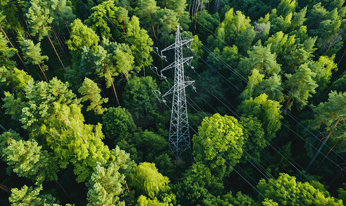
Power transmission lines often cross forests, highways, and construction zones, making external damage risks, tree-line conflicts, and sag variations persistent challenges in operations and maintenance. Traditional manual inspections are inefficient, while conventional cameras lack 3D distance measurement capabilities. Now, a new "point cloud bullet camera" integrating visible light, night vision, and LiDAR is transforming this situation.
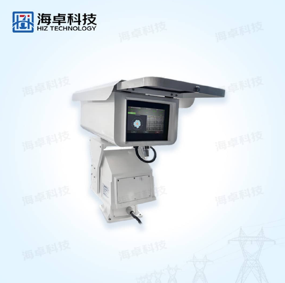
The power line LiDAR point cloud bullet camera from HAI ZHUO Technology features an integrated design combining visible light, night vision, and LiDAR. During the day, it precisely identifies construction vehicles, cranes, excavators, and other equipment using visible light; at night or under poor weather conditions, night vision and LiDAR complement each other. More importantly, it performs real-time fusion analysis of visible light and LiDAR data at the edge, immediately detecting potential external threats, accurately measuring distances, and issuing graded alerts. Tree obstructions, sag monitoring, and terrain changes—all are covered by a single device.
To ensure long-term monitoring accuracy, the LiDAR on board periodically scans the current scene and automatically compares it with historical 3D data, dynamically refining the 3D model. Whether triggered by slight movements or subtle terrain shifts, the system maintains access to the most accurate real-world data, laying a solid foundation for precise distance measurements.
The point cloud bullet camera builds a 3D model based on real-time point cloud data and then fuses and calibrates it with captured 2D images. The moment a hazard is detected, it calculates exact distances and visualizes them in the backend interface—no longer just "approximately how many meters," but with centimeter-level precision.
For construction vehicles such as cranes, excavators, bulldozers, pump trucks, and pile drivers, the camera achieves extremely high recognition accuracy via visible light. Once a vehicle enters a danger zone, the system instantly activates the LiDAR for 3D distance measurement and triggers alerts of varying severity based on proximity. Simultaneously, by comparing current point clouds with historical data, any terrain changes—such as soil piling or excavation—are promptly detected.
The point cloud bullet camera regularly scans the corridor’s point cloud data, dynamically updating information and continuously measuring the distance between trees and conductors at critical locations. Maintenance personnel can clearly track how tree growth affects the conductors, enabling timely pruning and preventing flashover trips. In sag monitoring, traditional sensors suffer from low accuracy and complex installation. The point cloud bullet camera requires no power outage: after collecting conductor data via LiDAR, it directly models the line and calculates ground clearance and sag values using sag height data from both sides. Verified against drone-based point cloud data, its accuracy far surpasses that of conventional sensor solutions, delivering a solution that is both simple and highly reliable.